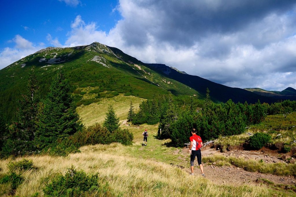
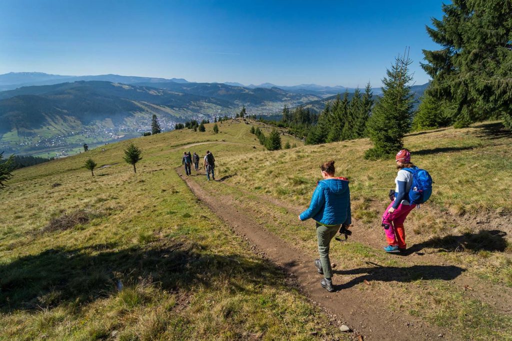
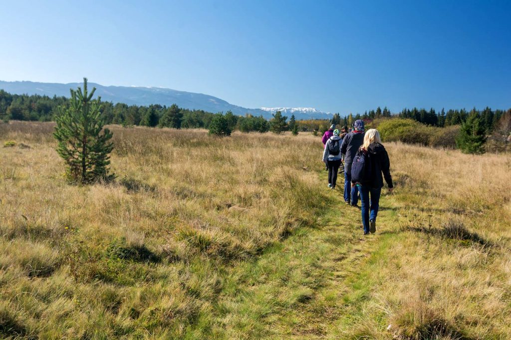
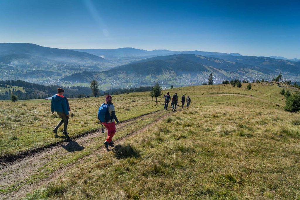
Energize yourself hiking along the 420 km of mountain trails from Vatra Dornelor. It is an appealing opportunity to actively relax and get to know the area while observing nature on your own, properly equipped with a map and hiking outfit, guided by the host of the house or a local guide.
Suhard (alt. Max. 1932 m) and Giumalău massifs (alt. Max. 1857 m) provide trails of easy and medium difficulty level; Giumalau has accommodation facilities (Giumalau Cabin).
Pietrosul Bistriţei Masif (alt. Max. 1793 m), with its rocky and steep mountainsides and a difference of level of 1000 meters is recommended only for the trained tourists.
Calimani Mountains with its steep peaks covered in pebbles and pinus mugo trees (alt. Max. 2100 m in Pietrosul Peak) gives you the experience of hiking within a pristine frame, being both wild and mysterious. The most accessible way is 12 Apostles-Lucaciu peak ridge where more trails meet, one of them being the one from Gura Haitii where “The Thematic Path 12 Apostles” was designed.
Add on your hiking list the nordic walking trail situated in the Central Park of Vatra Dornei, on a length of 2 km and a difference of level of 39 m. Practising this sport for all ages will train your muscles and help you consume with more than 40% than regular walking, without putting pressure on your joints. For renting trekking sticks, specialized training and guidance in nordic walking address yourselves to Mountain Rescue Service from Vatra Dornei.
To explore the mountain trails in the area with a guide, you can contact:
Administration of the Călimani National Park, which has biologists, rangers with specialization and experience in the forest field, who can accompany you on the routes in the park and in the areas of the area, giving you specialized information.
Contact: Șaru Dornei nr. 54C, 0230 374 197
Service of Tourism Promotion and Development and Rescue Vatra Dornei
Contact: Str. Gării nr. 2, 0230 372 767/ 0230 375 229 sau mobile 0744 332 378 /0726 686 687

With a relatively gentle ridge, covered by mountain and subalpine meadows, the Suhard Massif maintains an intense pastoral activity during the summer and offers, through its opening, spectacular views to the entire depression and to all the neighboring massifs: Bârgău, Rodna, Giumalău, Rarau, Pietros Bistrita and Călimani.
Location:
- N and NV Thorn Depression
Attractions:
- Main ridge – approx. 35 km; In the SE-NV direction follow one another: please. Runc (1149 m), please Ouşorul (1639 m), please. Pharaohs (1715 m), please. Omu (1932 m alt. Maximum), Rotunda Pass
- Icoana Lake (Obcina Diecilor, blue strip route)
- The “Holy Cross” (at the springs of the Recele stream, between Fărăoane Peak and Bârca Târşului)
Accommodation:
There are no shelters or cabins
Trails:
- The main ridge route links Paso Rotunda to Vatra Dornei (47 km long)
- The Carpathian bus (red band) ensures the connection with the Călimani Mountains through the Bârgăului Mountains
- Several cross paths start to the ridge from localities located in valleys
- Most braids have medium or low difficulty
Starting points:
Vatra Dornei, Dorna Candrenilor, Podu Coşnei, Iacobeni, Ciocăneşti, Cârlibaba, Paso Rotunda
Access:
Possible motorized access (Valea Bancului below Vf. Pharaohs) and on other forest roads up to the ridge (Ciotina)
Specific activities:
Hiking (with the possibility of overnight stay in the tent or skit), ski touring, paragliding, mountain-biking
Remarks:
Although there are numerous routes to the main ridge, most of them are unmarked
It is the main attraction for nature lovers, its plateaus offering some of the most spectacular views of the Eastern Carpathians. The dense network of tourist routes and access routes makes it the most accessible mass in the area. The secular forest from Giumalău, with various species of conifers and the Zugrenilor Gorges, dug at the southern slopes of the mountain, are the main attractions of the Giumalău Mountains. Please Giumalău can be observed: to the NE the Rarau massif, to the E and SE the crest of the Bistrita mountains, to the S the caldera of the Călimani mountains, and to the SV the Suhard and Rodnei mountains.
Location:
- N and NE Dornelor Depression
Attractions:
- Giumalău peak (1856 m-maximum altitude)
- Reservation of the Secular Codium Giumalău
- Giumalău Cottage (1641 m)
- Gigi Ursu chalet and chapel
- Mestecăniș and Poiana Fierului sketches
Accommodation:
- Giumalău Chalet
- Cabin Gigi Ursu
Trails:
The entire massif is crossed by a real network of hiking trails (22 marked trails), cycling and mountain biking, with varying degrees of difficulty, for beginners as well as for beginners. Some of these routes:
- Vatra Dornei-Dealul Drancani-Obcina Mare-Obcina Mică: 2½ h, easy route
- Vatra Dornei-vf. Bărnărel-Obcina Mică: 2½ hours, medium difficulty route
- Rusca Pr. Rusca Pr. Giumalău-Giumalău cabin: 3-4 h, easy route
- C5-Giumalău Circuit: Vatra Dornei-Monastery Cover of the Virgin Mary-Rusca-Rusca creek-Giumalău hut, Gigi Ursu-Poiana Obcinii-Chilia-Vatra Dornei creek
Access:
Car access from Rusca village and Vatra Dornei (forest roads)
Starting points:
- Cyril
- Rusca
- Vatra Dornei
Specific activities:
- wandering
- ski touring
- mountain biking
They extend over the territory of three counties, Suceava, Neamț and Harghita and are medium altitude mountains, which dominate the picturesque valley of Bistrita. Forested and with a winding main ridge and difficult to follow, with well-marked altitude differences, with deep valleys and steep slopes. Pietrosul Bistriței, a mysterious mountain discovered by fewer hikers, descending its steep ridge into the Zugrenilor Gorge, offers the experience of a hike in the middle of the wild nature, almost untouched by the human hand.
Location:
- Eastern Dornelor Depression
Attractions:
- The main ridge (32 km), Rotunda-Vatra Dornei Pass
- Pietrosul Bistriței peak 1791 m, peak Bogolin 1748 m
- Zugrenilor Keys
- The Piatra Cutting Shrine
- Viewpoints on the ridge over the Bistrita Valley and the Land of the Dornelor.
Accommodation:
Except for the Piatra Tăieturii Monastery, there are no mountain huts or huts, but camping is possible.
Trails:
Except for the coastal route, the Zugrenilor-Păltiniș village, a route that lasts 14-16 hours, the other routes can be traveled in one day:
- Rusca-Izvorul Rău village: 5-6 hours, average difficulty
- Ortoaia-Bărnărel (Crucea village), 5-6 hours, easy route
- Cozănești-Bărnărel (Crucea village) 5-6 hours, easy route
- C4 – Crossing the Bistrita Mountains, 23 km, Dorna Arini-Arinu Pârâul – the peak of the Bistrita mountains-M-rea Piatra Tăieturii-Panaci, 2½ h, medium / hard difficulty
Access:
Access to the car from: Panaci, Barnar and Dorna Arini – connection with the southern ridge (forest roads)
Starting points:
- Zugrenilor Keys
- Rusca
- Panaci
- Cozanesti
- Paltinis
- Barnar
Specific activities:
- wandering
- mountain biking
- ice climbing at Zugrenilor Gorges and Moara Dracului Waterfall
It is the largest volcanic massif in the entire Carpathian chain and stretches across four counties: Suceava, Mureș, Harghita and Bistrița Năsăud.
The Călimani Mountains are distinguished by the presence of the huge geological structures of volcanic caldera, with a diameter of about 10 km, being one of the largest in Europe. Its ridge is imposed by the peaks of over 2000 m, present in the western secondary ridge. These mountains are individualized by massiveness, the presence of steep slopes in the north and large plateaus in the south, through huge areas covered by forest and through the subalpine and alpine landscape.
Location:
- South of the Spine Depression
Attractions:
The most important and representative natural tourist attractions of these mountain areas are found in Călimani National Park, a natural area protected by law, of national interest, spread over an area of over 24,000 ha. Here are rare and important species of flora and fauna, representative for this area.
- The main ridge of the volcanic caldera and the main peaks: Lucaciu Peak (1770 m), 12 Apostles Peak (1760 m), Pietrele Roșii Peak (1705 m), Tihu Peak (1852 m), Pietrosul Peak (2100 m- maximum altitude), Negoiul Unguresc Peak (2081 m), Călimani Izvor Peak (2032 m), Călimanul Cerbului Peak (2013 m)
The 12 Apostles Nature Reserve - Molidiș Scientific Reserve with Pinus Cembra
- Iezer Lake Nature Reserve
- Thematic Path 12 Apostles
- The 12 Apostles Monastery, near the peak. Lucaciu
Trails:
The wilderness of the landscapes encountered in the Călimani Mountains is of impressive beauty, the existing tourist routes being among the first routes in the country regarding the beauty of the landscapes encountered.
- Poiana Negrii-Schitul 12 Apostoli-Gura Haitii-Vf. Calimanul Cerbului-Vf. Bucinișul, Coverca, 22-23 h, medium difficulty
- Gura Haitii-Red Stones-Vf. Tamău-Valea Vorova- Dornișoara, 7-8 h, medium difficulty
- Gura Haitii-Poiana Izvoarelor – Coil Pietrosului, 4 h, medium difficulty
- C6- Crossing the Călimani Mountains: Păltiniș village – Călimani Mountains – Neagra Șarului, 21 km, 2 ½ h, medium / hard difficulty.
Accommodation:
One accommodation option is at the 12 Apostles Scheme. On the territory of Călimani National Park, camping is allowed in the points indicated on the tourist map of the park (eg Red Stones, Poiana Izvoarelor, Negoiu, Meteo Rețitiș Station).
Access:
The ascent in the Călimani Mountains on the territory of Suceava county, can be done from the town of Gura Haitii and Poiana Negrii (towards the 12 Apostles reservation). The access to the area can be made on communal road 147F, which connects with the county road DN 17.
Starting points:
- Vatra Dornei
- Gura Haiti
- Poiana Negrii
- Saru Dornei
- Poiana Stampei
- Dornisoara
Specific activities:
- wandering
- ski touring
- equestrian tourism
- mountain biking


