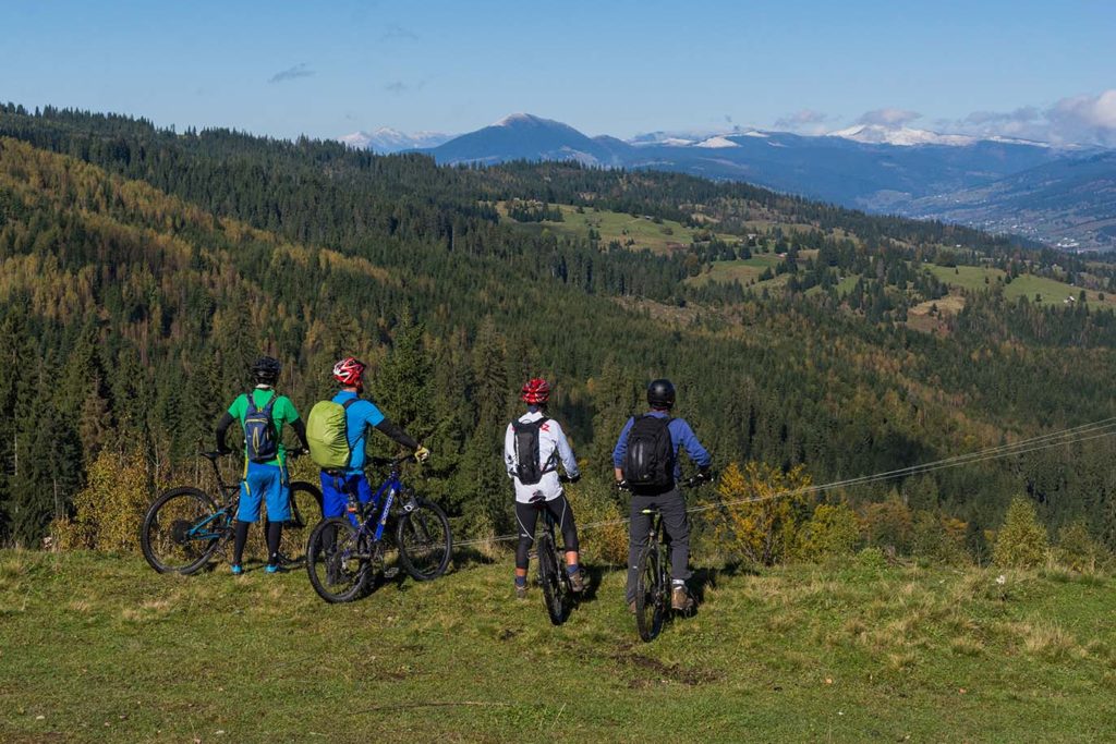
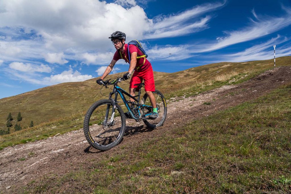
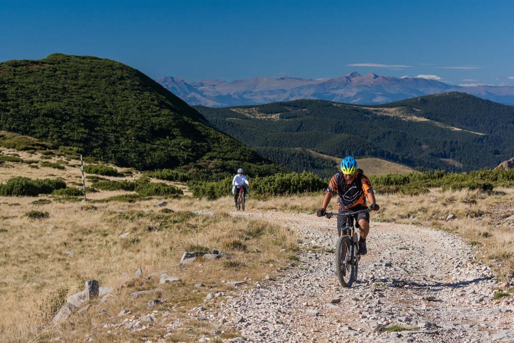
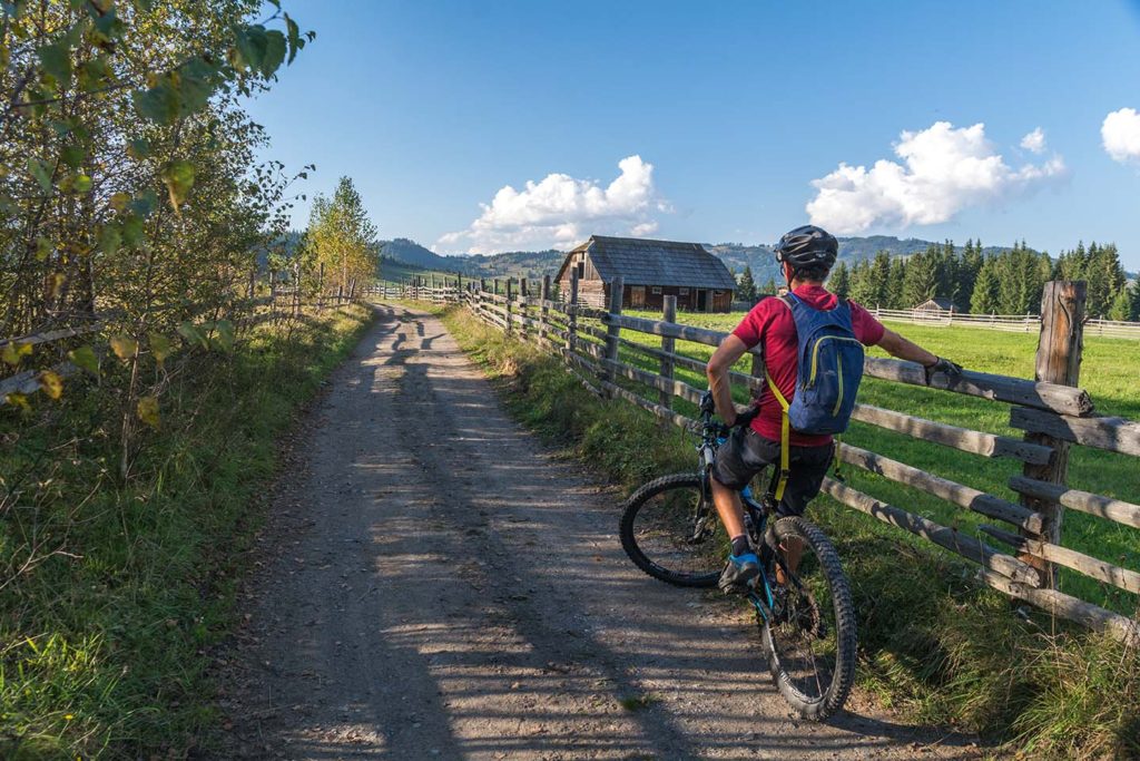
Discover Țara Dornelor on two wheels! It is spread at a distance of 150 kilometers of mountain cycling. From the shortest and easiest trails that wind through the beautiful and unique pictures villages of the Dornelor Depression to the longest and difficult ones which go up to the bald peaks from Suhard, Giumalău and Călimani mountains!
Cycling tourism is a unique activity that brings the charm of the area, while Țara Dornelor is the perfect destination where you can combine the pleasure of being in nature with doing exercise and observing the authentic style of life of local people.
Țara Dornelor is a land that must be deeply explored, no matter the season!
Here you can find the list of cycling trails:

Trail Route: Vatra Dornei – Mănăstirea Acoperământul Maicii Domnului – Satul Rusca – Cheile Zugrenilor
The route has as an access point the eastern end of the resort Vatra Dornei, 2 km downstream from the confluence of the rivers Bistriţa Aurie and Dorna. The route runs entirely along the Bistrita River and does not pose problems of accessibility for tourists with average degree of preparation. Along the route you can admire both the Bistrita Valley and the Bistrita Mountains which are always in front, in the direction of travel. After about 10 km you will reach the road bridge from Rusca, intersection with the access route to Cabana Giumalău. After 2 km you cross the road that leads to Piatra Neamt.
Cross the bridge upstream and enter again on a side road parallel to the Bistrita River. Up to the Cheug Zugrenilor area, the road takes you through the villages Sunatori and Călineşti. The return to Vatra Dornei can be done on the same route or on the asphalt road that is on the left side of the Bistrita River.

Trail route: Neagra Șarului – Sărișor – Șarul Dornei – Panaci – Neagra Șarului
The route starts from the center of Şaru Dornei village. After crossing the bridge over the Black River, make a slight right on an asphalted road that will take you through the traditional houses scattered on the gentle plains of the villages Sărişor and Sărişorul Mare (Comuna Neagra Şarului). Some climbs can pose little problems for the least trained, but it is not necessary to get off the bike. Even if you go slower, this will allow you to enjoy the truly spectacular view. From Sărişor to Neagra Şarului there are two steeper descents that you have to approach carefully because you may encounter cars or carts coming from the opposite direction. Once you reach the center of the village of Neagra Şarului, turn left on the main road, and then the first right on another paved road. Go forward
at the first intersection of three asphalt roads, where you choose the variant that goes up the hill. If you prefer a slightly lighter version, from this junction, take the road to the left. If you have chosen the first option, after a steep descent there is a steep descent into a valley, followed by a short but steep climb. Once you reach the top, take a left on the first paved road that will take you with small ascents and descents to Panaci. At the intersection with the concrete road, turn left towards Plaiul Şarului, leaving the center of Panaci village in the other direction. From here, take no more than 15 minutes to the intersection where you left off. We recommend paying attention to the cars that speed along the county road.

Trail route: Panaci – Mănăstirea Piatra Tăieturii – Pasul Păltiniş – Satul Păltiniş – Panaci
The route offers you the possibility to reach the southern peak of the Bistrita Mountains, at the Piatra Tăieturii Monastery. The entrance to the route is from the center of Panaci Commune, near the City Hall headquarters. The first 7 km of the route are of sustained ascent, with a difference of level of over 500 m, after which you reach the forest road of peaks, from where you can admire the ridges over 2000 m of Călimani National Park. In the vicinity of the monastery you cross to the right with the summit trail that comes from Dorna Arini. This tourist route is marked by a red strip and connects the Zugrenilor Gorges with Păltiniş Pass. From here, take the road to the right and follow the tourist route bypassing the Piatra Tăieturii Monastery. The route is still descending, the descent being quite slight, but demanding for the braking system of the bicycle. In Păltiniş Pass you cross the road that connects the villages Păltiniş (right) and Dârmoxa (left). Descend to the right towards the village of Păltiniş on a serpentine road until you reach the intersection with the asphalt road that connects the Panaci and Bilbor communes. Follow the road on the right and pedal approximately 7.5 km to the Panaci starting point.

Trail route: Dorna Arini – Pârâul Arinu – Culmea Munţilor Bistriţei – Mănăstirea Piatra Tăieturii – Panaci
Access to the route is from the center of Dorna Arini Commune, 500 m from the Police Station. The road in the first part is asphalted and winding on the northern slope of the Bistrita mountains to the ridge, where it intersects the tourist trail of ridges marked with a red strip that connects between the Zugrenilor Gorges (the northern end of the Bistrita Mountains) and the Păltiniş Pass (the southern extremity of the Bistrita Mountains). ). The main road goes ahead, but you follow the road on the right marked with a red lane. Until the Piatra Tăieturii Monastery, the route runs entirely on the top of the Bistrita Mountains, crossing meadows and pastures. You reach points of view where you can admire both the Giumalău Mountains (towards the North-West) and Călimani (South-West). Next to the monastery, the tourist route goes to the left towards Păltiniş Pass, and you descend the 7 km path on a pretty well arranged forest road in the center of Panaci Commune.

Trail Route: Vatra Dornei – Mănăstirea Acoperământul Maicii Domnului – Rusca – Pârâul Rusca – Cabana Giumalău – Cabana Gigi Ursu – Poiana Obcinii – Pârâul Chilia – Vatra Dornei
From the bypass variant of the Vatra Dornei Municipality, from Suceava to Piatra Neamţ, you enter the cobbled road that leads to the Monastery of the Mother of God, located on the left bank of the Bistrita River. After the monastery, the road continues smoothly towards the Rusca Village. Once in Rusca, turn left at the concrete bridge that crosses Bistrita towards the national road. Basically, you enter an uphill road that accompanies the Rusca Stream. From here you just have to follow the red triangle tourist mark, which will take you, after a sustained climb, to the Giumalău Chalet. Attention, on the last portion of about 700 meters you will have to push the bike (push bike segment). From the cottage you will follow the dirt road that crosses the mountain gap. The road is superimposed over the yellow band tourist mark, up to Poiana Ciungilor where it meets the route marked with red strip. Follow this path through the forest to the Gigi Ursu Chalet. From Gigi Ursu Chalet, the road is mostly downhill, and the condition of the road surface is quite good. After about 1 km, leave the main road and follow the blue-marked path that leads to Bârnărel Peak. The road is quite wide and is often used for forestry exploration. From here the tourist route turns to the right, but you keep to the left towards the St. Nectary Chapel. The road descends 5 km, quite steep, winding along the whole southern face of Bârnărel Mountain until it reaches the starting point.

Trail Route: Satul Păltiniş – Munţii Călimani – Neagra Şarului
The route entry is made in the village Păltiniş, about 1.5 km from the center of the village, towards the village Drăgoiasa and coincides with the entrance to Călimani on the route marked with a red strip until after Mount Bucinişu. Throughout the route you will cross pastures, meadows or wooded areas. The trail follows the forest road after the source of Bucinşul Izvor and reaches the foot of Gypsy. From here you can admire the Tsar – Panaci Depression to the East, and in June on the summits of Călimanului you can enjoy the beauty of the pink rhododendron bushes. The descent into Şaru Dornei Commune is on a fairly long forest road, often affected by rainwater or logging.

Trail Route: Ciocăneşti – Schitul Sf. Cruce – Coşna
The access point is upstream from the center of Ciocăneşti Commune, on Recele River. Also here begins the tourist route marked with a red dot, which leads to the Holy Cross Chapel. The climb is continuous, but more pronounced over the last 2 km. On the last part of the route you can see the inversion between the deciduous and coniferous floors. The forest road runs around the monastery and winds its way to the top of the Suhard, the place where you meet the main ridge path marked with a blue strip that connects the Vatra Dornei station and the Rodnei Mountains. Here is a special vantage point from where you can admire the Rodnei Mountains to the West, Giumalău to the North-East and Călimani to the South. Cross the ridge and descend approximately 3.5 km on the south face of the Suhard, to a forest road along the stream that leads you to the main axle – Bank Valley. From the top of the Suhard to the road, the road is totally descending and has a length of 15 km with a difference of level of 650 m.
CHAIRLIFT
As a tourist or skier, admire Dornelor depression in its splendour, Rodnei and Calimani Mountains, on a 25-minute ride on the chairlift along a 3 km distance, from Vatra Dornei to Dealu Negru, at an altitude of 1301 m – Diecilor Peak.
USEFUL INFO:
Functioning hours: From Monday to Sunday, between 10.00 a.m. – 16.00 p.m, for a minimum of 10 people.
The last ride is at 16.00! Details: 0744 587 537 or on 48 Negrești street, Vatra Dornei.


